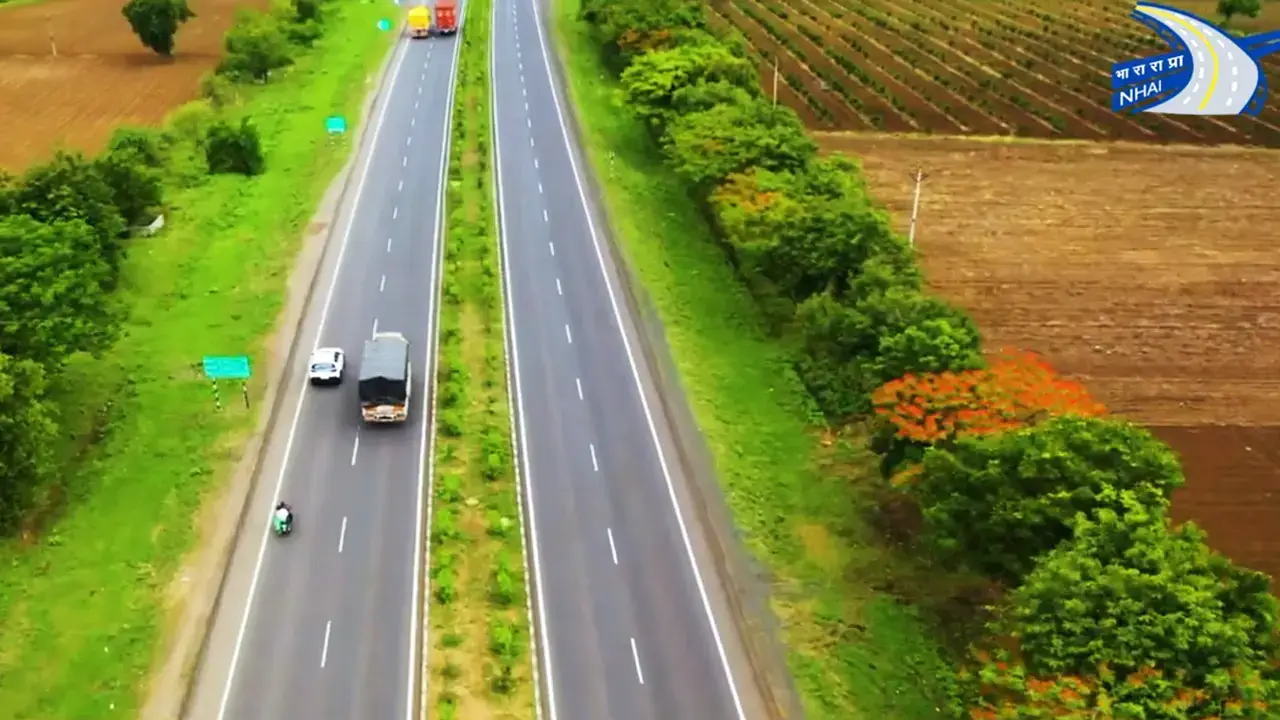
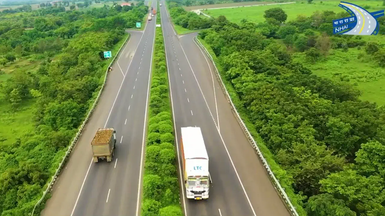
See Your Road & Highway Projects Come to Life with Drone Videography

Uncover Detailed Insights Across Urban and Rural Landscapes
Our drone mapping services leverage cutting-edge technology to deliver comprehensive data solutions for a wide range of applications in both urban and rural environments. We empower informed decision-making across various sectors, fostering smarter development and efficient resource management.
Urban Applications:
- Enhanced City Planning: Gain up-to-date aerial views for informed decision-making on land use, infrastructure development, and zoning regulations.
- Construction Monitoring: Track construction progress efficiently with highly detailed drone mapping data.
- Environmental Assessment: Evaluate the health of urban green spaces through comprehensive aerial surveys.
- Real-Time Traffic Management: Optimize traffic flow with real-time data insights.
- Disaster Response: Facilitate swift emergency response during disasters with rapid damage assessment using drones.
- Utility Inspections: Conduct safe and efficient inspections of utility infrastructure with drone technology.
Rural Applications:
- Agricultural Support: Monitor crop health, assess soil conditions, and optimize resource allocation for improved agricultural practices.
- Forestry Solutions: Survey vast forested regions for tree health, inventory, and pest detection.
- Land Surveying & Resource Management: Perform precise land surveying, manage natural resources effectively, and assist mining/quarrying operations with accurate mapping and data collection.
- Disaster Relief: Rapidly assess rural disaster damage using drones, enabling efficient relief planning.
Actionable Insights for Informed Decisions
Our drone mapping services go beyond data collection. We deliver actionable insights through high-quality deliverables like orthomosaics, digital elevation models (DEMs), and 3D point clouds. This empowers informed decision-making and analysis across a wide range of urban and rural projects.
Ready to unlock the power of drone mapping? Contact us today for a free consultation!
More Services
Menu


