

Roads & Highway Inspection
Utilize drone technology to track infrastructure development, identify potential issues early on, and optimize project timelines and budgets.
Drone Mapping
Create detailed 3D models and accurate aerial maps for urban planning, mining exploration, construction planning, and other applications.

Aerial Photo/Videography
Showcase your properties, construction sites, or events from a unique perspective with stunning aerial photography and videography.

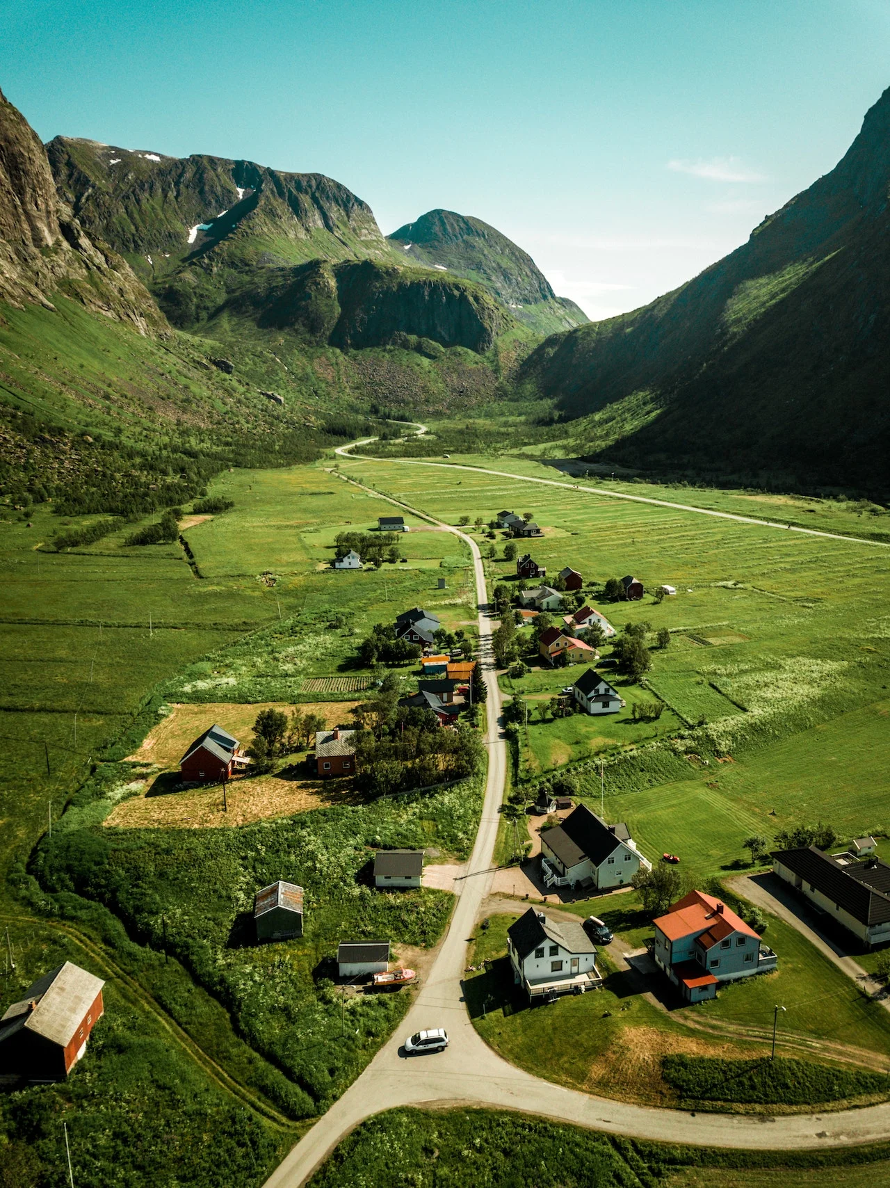
Urban/Rural Planning
Make informed planning decisions with detailed aerial data that provides insights into land use, potential challenges, and optimal development strategies.
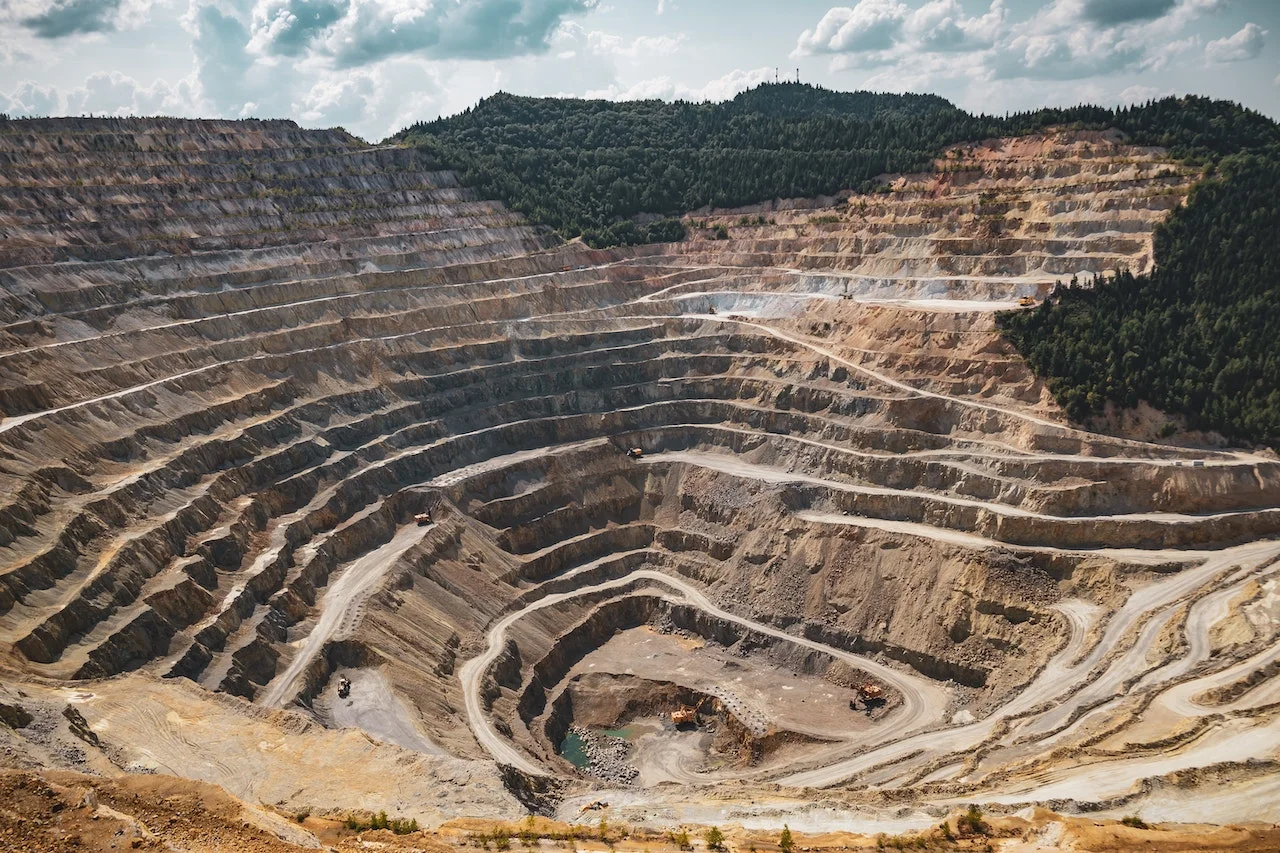
Mines/Quarries
Monitor mining activity, track stockpile volumes, and ensure regulatory compliance with efficient aerial data collection.
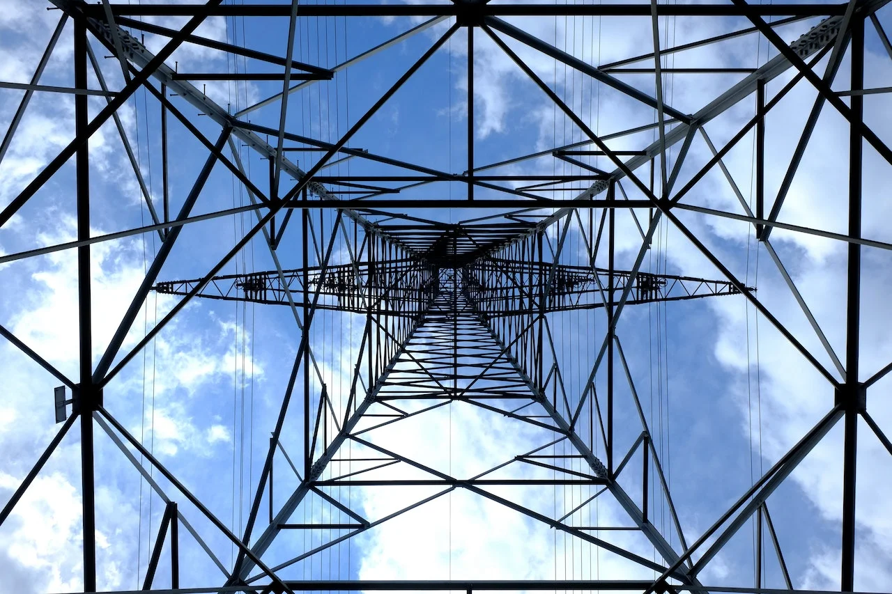
Power Lines & Utilities
Perform detailed inspections of power lines, pipelines, and other infrastructure for damage assessment and proactive maintenance.
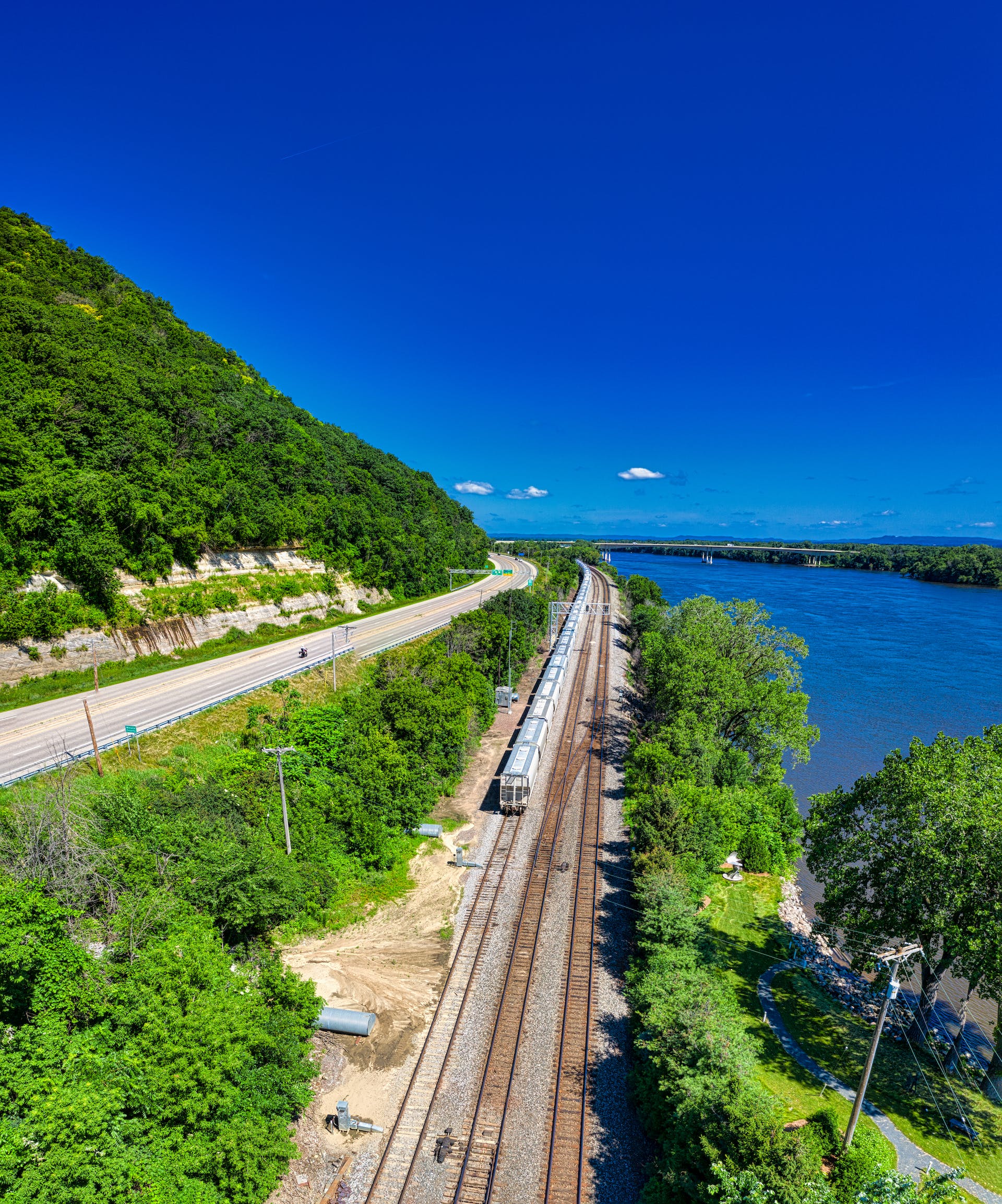
Rivers & Railways
Conduct comprehensive inspections of rivers, railways, and other transportation infrastructure to identify potential hazards and optimize maintenance strategies.